


Mapas de Mexico CETENAL/INEGI
Identifier
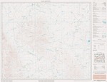
InstitutoNacionalEstadisticaGeograficaInformaticaCartaTopograficaSanMiguelG14A56NuevoLeon, 1977
Files
Creation Date
1977
Description
Topographic map of San Miguel, Nuevo Leon, Mexico in 1977.
Physical Description
.PDF, 1 Page, Color, Scale 1:50,000
Recommended Citation
Mapas de Mexico CETENAL/INEGI, UTRGV Digital Library, The University of Texas – Rio Grande Valley. Accessed via https://scholarworks.utrgv.edu/mexmaps
Notes
G14A56