


Mapas del Archivo General de la Nación
Identifier
BD00026-Catalogo de ilustraciones #2341
Creation Date
1-1-1833
Description
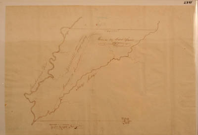
Map of the Lands in Villa de Goliad, Texas.
1 inch: 2000 yards.
Physical Description
.JPG, 1 Map, 37 x 25 cm
Preview
Recommended Citation
Mapas del Archivo General de la Nación, UTRGV Digital Library, The University of Texas – Rio Grande Valley. Accessed via https://scholarworks.utrgv.edu/archgeneralnacion/
Keywords
Maps, Texas--Goliad, Texas--San Antonio River, 1830-1839
