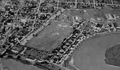
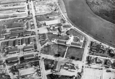
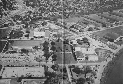
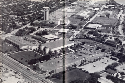
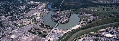
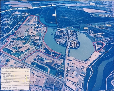
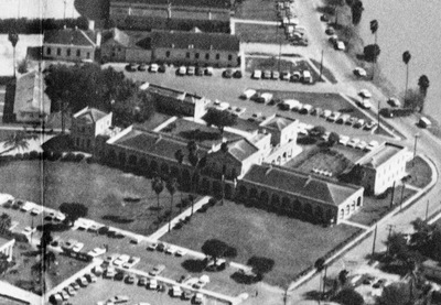
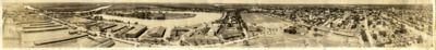
Fort Brown Aerials | Maps & Geography | University of Texas Rio Grande Valley
Menu
  • Home
  • Search
  • Browse Collections
  • My Account
  • About
  • DC Network Digital Commons Network™
Skip to main content
ScholarWorks @ UTRGV University of Texas Rio Grande Valley ScholarWorks @ UTRGV
  • Home
  • About
  • FAQ
  • My Account

Home > Special Collections > Maps & Geography > Fort Brown Aerials

Maps & Geography

Fort Brown Aerials

 
This collection contains black and white and full-color aerial photographs of Fort Brown throughout the decades (1930–2003). Fort Brown (originally Fort Texas) was a military post in Brownsville, Texas established in 1846. It was the first US Army military outpost of the recently annexed state and remained active until 1946 when it was acquired by the City of Brownsville and Texas Southmost College.
Printing is not supported at the primary Gallery Thumbnail page. Please first navigate to a specific Image before printing.

Follow

Switch View to List View Slideshow
 
  • Fort Brown aerial, 1939

    Fort Brown aerial, 1939

  • Fort Brown aerial, 1954

    Fort Brown aerial, 1954

  • Fort Brown aerial, 1965

    Fort Brown aerial, 1965

  • Fort Brown aerial, 1977

    Fort Brown aerial, 1977

  • Fort Brown aerial, 1995

    Fort Brown aerial, 1995

  • Fort Brown aerial, 2003 by Juan Miguel Gonzalez

    Fort Brown aerial, 2003

  • Fort Brown aerial showing ownership boundaries, 1995 by University of Texas at Brownsville and Texas Southmost College. Department of Administration and Planning

    Fort Brown aerial showing ownership boundaries, 1995

  • Fort Brown aerial, Texas Southmost College administration building close-up, 1975

    Fort Brown aerial, Texas Southmost College administration building close-up, 1975

  • Fort Brown panoramic view, 1930

    Fort Brown panoramic view, 1930

  • Processing notes by William Flores

    Processing notes


Browse

  • Collections
  • Disciplines
  • Authors

Search

Advanced Search

  • Notify me via email or RSS

Author Corner

  • Author FAQ

Links

  • Special Collections & University Archives Home Page

Gallery Locations

To navigate, press the arrow keys.

  • View gallery on map
  • View gallery in Google Earth
 
Elsevier - Digital Commons

Home | About | FAQ | My Account | Accessibility Statement

Privacy Copyright

UTRGV
BESbswy