


Mapas del Archivo General de la Nación
Identifier
BD00026-Catalogo de ilustraciones #4261
Creation Date
1-1-1810
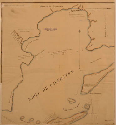
Description
Map of Galveston Bay and Louisiana.
Escala en metros. Scale in Meters.
Physical Description
.JPG, 1 Map, 39 x 44.25 cm
Preview
Recommended Citation
Mapas del Archivo General de la Nación, UTRGV Digital Library, The University of Texas – Rio Grande Valley. Accessed via https://scholarworks.utrgv.edu/archgeneralnacion/
Keywords
Maps, Texas--Galveston Bay, 1810-1819
