



Lower Rio Grande Valley Maps
Identifier
FactsAboutBrownsville_c1950-D
Creation Date
1950
Description
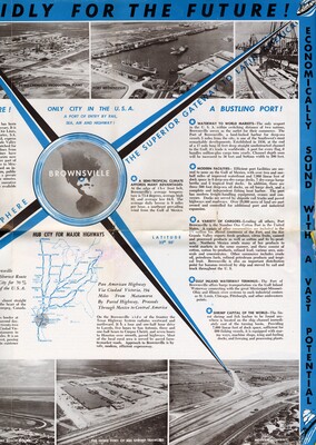
A vintage multi-panel promotional tourism brochure page highlighting the deepwater maritime economy and shipping infrastructure of Brownsville, Texas. The central layout features text blocks detailing the expansion of the Port of Brownsville, inland waterways, and the local shrimping fleet, and a simple highway line map tracing routes down to Central America. The page includes monochromatic, sepia-toned photographs showcasing a petrochemical production plant, port docks, incoming cargo vessels, a fishing fleet, a highway, and shrimping trawlers.
Physical Description
.JPG, 1 Page, Color
Preview
Recommended Citation
"Map of Romantic, Dynamic Brownsville - Page 4 [Brochure]" (1950). Lower Rio Grande Valley Maps. 114.
https://scholarworks.utrgv.edu/maps/114
Keywords
Maps, Texas--Brownsville, Texas--Lower Rio Grande Valley, Mexico--Matamoros, Commercial Maps, 1950s
