



Lower Rio Grande Valley Maps
Identifier
FactsAboutBrownsville_c1950-C
Creation Date
1950
Description
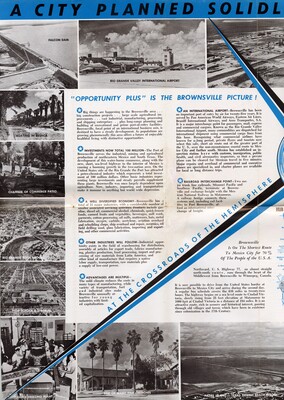
A vintage multi-panel promotional tourism brochure spread focusing on the industrial growth, transportation networks, and commercial trade infrastructure of Brownsville, Texas. The layout features dense text columns detailing the city's international airport, cross-border railway systems, and expanding maritime trade investments. The spread includes sepia-toned promotional photographs depicting local landmarks including Falcon Dam, the Rio Grande International Airport, local shrimping and boating resacas, and municipal sports facilities.
Physical Description
.JPG, 1 Page, Color
Preview
Recommended Citation
"Map of Romantic, Dynamic Brownsville - Page 3 [Brochure]" (1950). Lower Rio Grande Valley Maps. 115.
https://scholarworks.utrgv.edu/maps/115
Keywords
Maps, Texas--Brownsville, Texas--Lower Rio Grande Valley, Mexico--Matamoros, Commercial Maps, 1950s
