


Identifier
General Map Collection General L0005
Creation Date
11-16-1912
Description
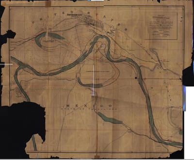
Topographical map of the Rio Grande City, Texas. Engineers and commissioners from the United States and Mexico. Map extends north to Rio Grande City, Texas and south towards the Gonzaleno Ranch in Tamaulipas.
Physical Description
1 map ; 88 x 72 cm.
Preview
Recommended Citation
Maps, UTRGV Digital Library, The University of Texas – Rio Grande Valley
Keywords
Maps; North America--Rio Grande; Texas--Lower Rio Grande Valley; 1910-1919