



Lower Rio Grande Valley Maps
Creation Date
1983
Description
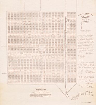
First Map of Edinburg, Texas, founded in 1908. Reprint of the original townsite plat of Chapin, Hidalgo County, Texas. Includes original legal land description signed by John Closner, D. B. Chapin, J. R. Alamia, and S. A. Robertson. Also relates the history of the names Chapin and Edinburg.
Townsite map reprinted in 1983 by Hidalgo County Historical Museum Edinburg 75th Anniversary Committee and Hidalgo County Historical Society.
Physical Description
.JPG, 1 Page, BW, Scale 1" = 300'
Preview
Recommended Citation
Robertson, Samuel A. (1983). Original townsite plat of Chapin, Hidalgo County, Tex [reprint of 1908 map]. LRGV Maps, UTRGV Digital Library, The University of Texas – Rio Grande Valley. Accessed via https://scholarworks.utrgv.edu/maps
Keywords
Maps, Texas--Edinburg, Land subdivision, 1900-1909
