


Lower Rio Grande Valley Maps
Identifier
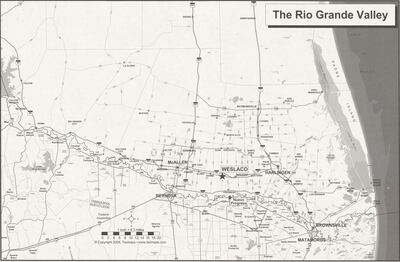
TheRioGrandeValley, ND
Creation Date
2008
Description
Black and white. Depicts the region from Falcon Heights, Texas down to General Bravo, Nuevo Leon, Mexico to Boca Chica, Texas.
Physical Description
.JPG, 1 Page, BW, Scale 1 inch = 8.3 miles
Preview
Recommended Citation
Texmaps. (2008). Map of the Rio Grande Valley. Maps, UTRGV Digital Library, The University of Texas – Rio Grande Valley. Accessed via https://scholarworks.utrgv.edu/maps
Keywords
Maps, Texas--Lower Rio Grande Valley
