


Lower Rio Grande Valley Maps
Identifier
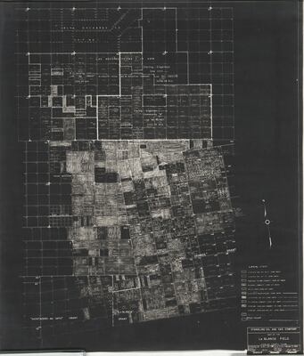
MapLaBlancaFieldHidalgoCountyTexas, ND
Creation Date
2-3-1955
Description
Map of oil and gas wells in the vicinity of La Blanca, Texas.
Physical Description
.JPG, 1 Page, BW, Scale in feet
Preview
Recommended Citation
Stanolind Oil and Gas Company. (1955-02-03). Map of the La Blanca Field, Hidalgo County, Texas. Maps, UTRGV Digital Library, The University of Texas – Rio Grande Valley. Accessed via https://scholarworks.utrgv.edu/maps
Keywords
Maps, Texas--La Blanca, Land subdivision, 1950-1959, Oil and gas leases
