



Lower Rio Grande Valley Maps
Identifier
FactsAboutBrownsville_c1950-B
Creation Date
1950
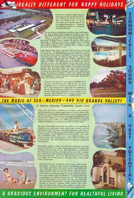
Description
A vintage promotional tourism brochure page highlighting local civil infrastructure, recreational assets, and economic development in Brownsville, Texas. The layout features municipal highlights such as the Fort Brown Memorial Center complex, the Jacob Brown Auditorium, and the seasonal Charro Days festivals alongside tourism info for Padre Island fishing. The panels are decorated with color photography showing contemporary mid-20th-century modern public buildings and outdoor swimming amenities, framed by bold promotional advertising titles.
Physical Description
.JPG, 1 Page, Color
Preview
Recommended Citation
"Map of Romantic, Dynamic Brownsville - Page 2 [Brochure]" (1950). Lower Rio Grande Valley Maps. 116.
https://scholarworks.utrgv.edu/maps/116
Keywords
Maps, Texas--Brownsville, Texas--Lower Rio Grande Valley, Mexico--Matamoros, Commercial Maps, 1950s
