


Lower Rio Grande Valley Maps
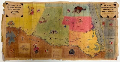
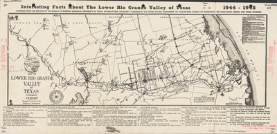
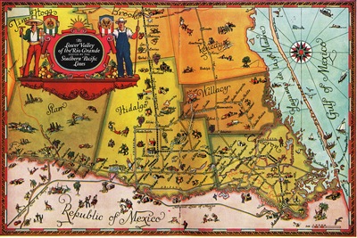
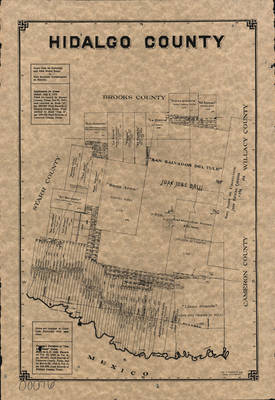
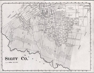
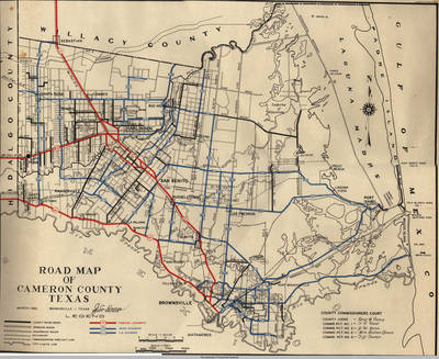
Maps showing the Lower Rio Grande Valley region of South Texas including the counties of Cameron, Hidalgo, Starr, and Willacy.
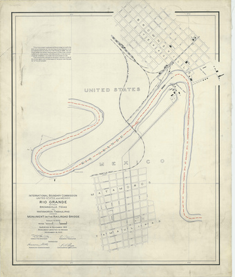
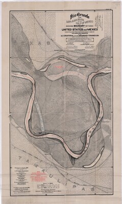
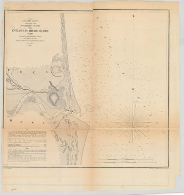
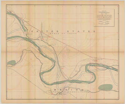
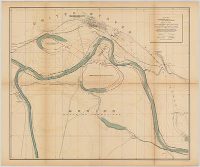
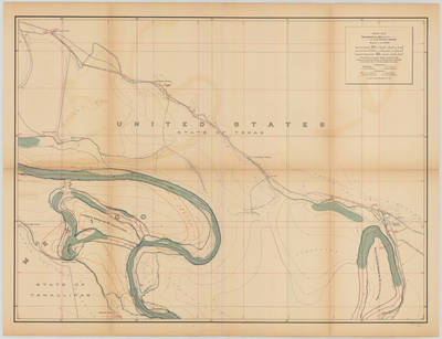
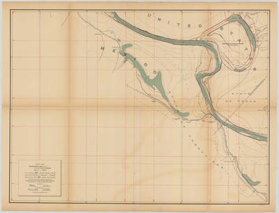
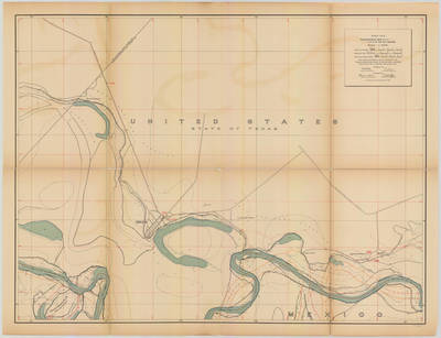
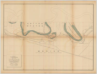
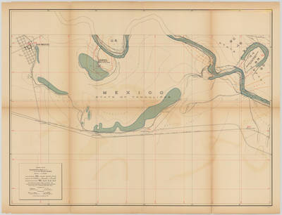
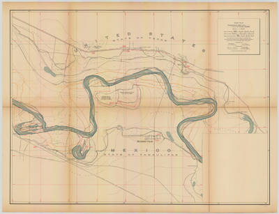
Map collections include International Boundary & Water Commission (IBWC) maps from 1912. Click here to learn more about the IBWC.
Printing is not supported at the primary Gallery Thumbnail page. Please first navigate to a specific Image before printing.

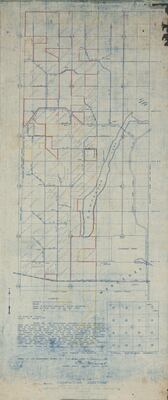
![Bentsen Groves: Addition E Out of South Part of Porcion 50, Hidalgo County, Texas [Palmview, Texas] by C. R. Parliman](https://scholarworks.utrgv.edu/maps/1065/thumbnail.jpg "Bentsen Groves: Addition E Out of South Part of Porcion 50, Hidalgo County, Texas [Palmview, Texas] by C. R. Parliman")
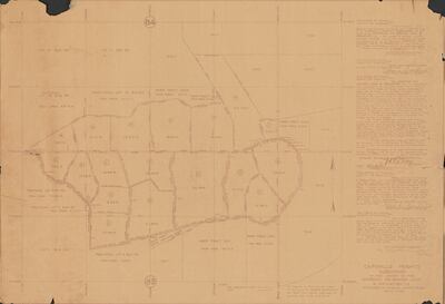
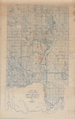
![Capisallo Heights Subdivision of the Lands of the American Rio Grande Land Irrigation Co. Situated In Hidalgo County, Texas [Mercedes, Texas] by American Rio Grande Land and Irrigation Company](https://scholarworks.utrgv.edu/maps/1076/thumbnail.jpg "Capisallo Heights Subdivision of the Lands of the American Rio Grande Land Irrigation Co. Situated In Hidalgo County, Texas [Mercedes, Texas] by American Rio Grande Land and Irrigation Company")
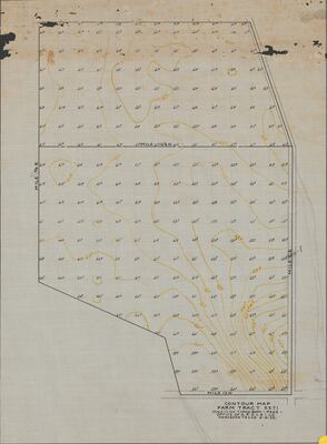
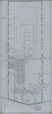
![Contour Map: Farm Tract 2271 [Mercedes, Texas] by American Rio Grande Land and Irrigation Company](https://scholarworks.utrgv.edu/maps/1075/thumbnail.jpg "Contour Map: Farm Tract 2271 [Mercedes, Texas] by American Rio Grande Land and Irrigation Company")


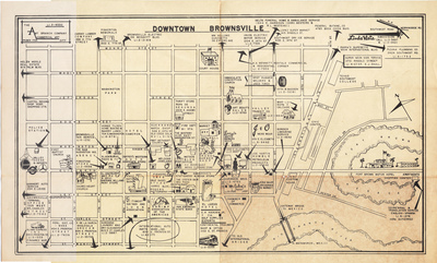
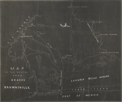
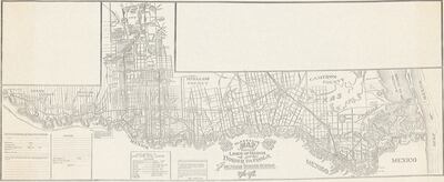
![Map of Brownsville Gateway to Mexico [Brochure]](https://scholarworks.utrgv.edu/maps/1105/thumbnail.jpg "Map of Brownsville Gateway to Mexico [Brochure]")
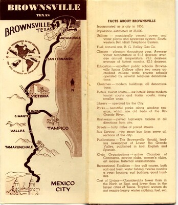
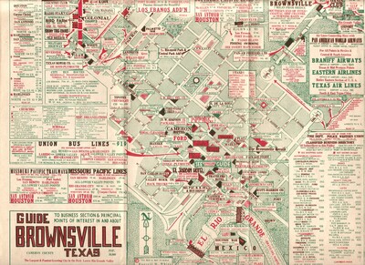
![Map of Brownville, Texas [Brochure]](https://scholarworks.utrgv.edu/maps/1104/thumbnail.jpg "Map of Brownville, Texas [Brochure]")
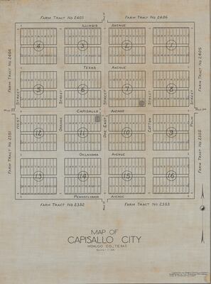
![Map of Capisallo City, Hidalgo County, Texas [Mercedes, Texas] by American Rio Grande Land and Irrigation Company](https://scholarworks.utrgv.edu/maps/1077/thumbnail.jpg "Map of Capisallo City, Hidalgo County, Texas [Mercedes, Texas] by American Rio Grande Land and Irrigation Company")


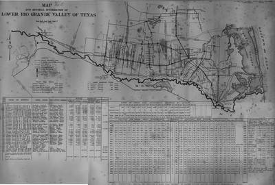
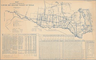
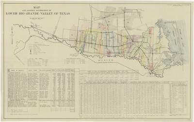
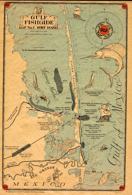
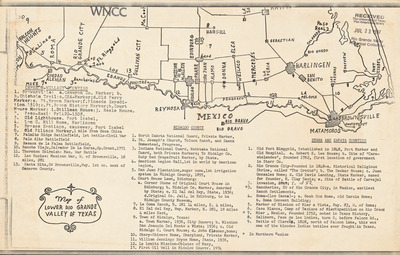
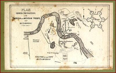
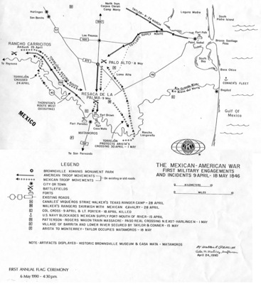
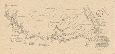
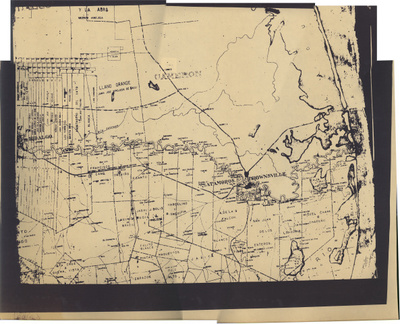
![Map of Lower Rio Grande Valley of Texas [Historical markers]](https://scholarworks.utrgv.edu/maps/1081/thumbnail.jpg "Map of Lower Rio Grande Valley of Texas [Historical markers]")


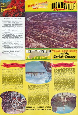
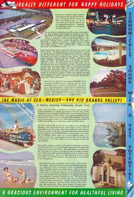
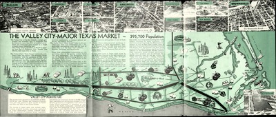
![Map of Romantic, Dynamic Brownsville - Page 01 [Brochure]](https://scholarworks.utrgv.edu/maps/1106/thumbnail.jpg "Map of Romantic, Dynamic Brownsville - Page 01 [Brochure]")
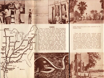
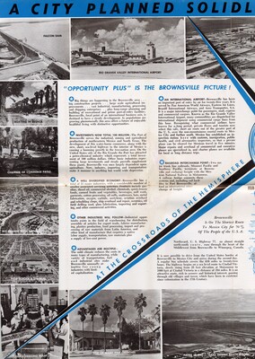
![Map of Romantic, Dynamic Brownsville - Page 2 [Brochure]](https://scholarworks.utrgv.edu/maps/1107/thumbnail.jpg "Map of Romantic, Dynamic Brownsville - Page 2 [Brochure]")
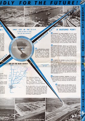
![Map of Romantic, Dynamic Brownsville - Page 3 [Brochure]](https://scholarworks.utrgv.edu/maps/1108/thumbnail.jpg "Map of Romantic, Dynamic Brownsville - Page 3 [Brochure]")
![Map of Romantic, Dynamic Brownsville - Page 4 [Brochure]](https://scholarworks.utrgv.edu/maps/1109/thumbnail.jpg "Map of Romantic, Dynamic Brownsville - Page 4 [Brochure]")

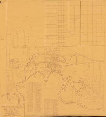
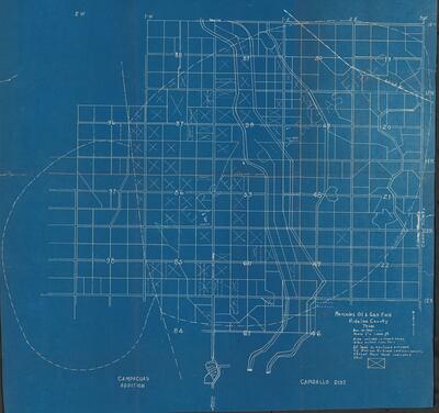
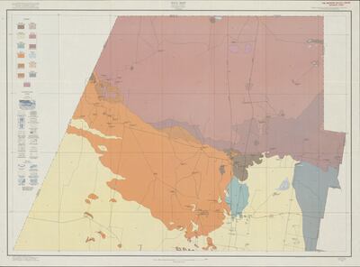
![Map of South Texas Division: Tabasco Area [Penitas, Texas] by Edwin W. Pauley and Associates](https://scholarworks.utrgv.edu/maps/1061/thumbnail.jpg "Map of South Texas Division: Tabasco Area [Penitas, Texas] by Edwin W. Pauley and Associates")
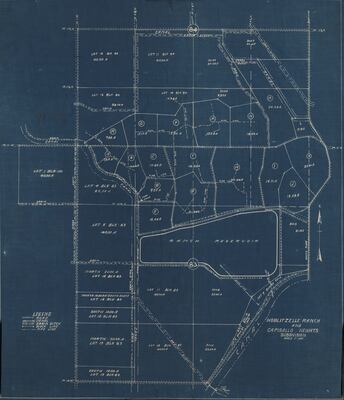
![Map of Subdivision of Hoblitzelle Ranch and Capisallo Heights [Indian Hills, Texas]](https://scholarworks.utrgv.edu/maps/1053/thumbnail.jpg "Map of Subdivision of Hoblitzelle Ranch and Capisallo Heights [Indian Hills, Texas]")


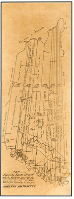
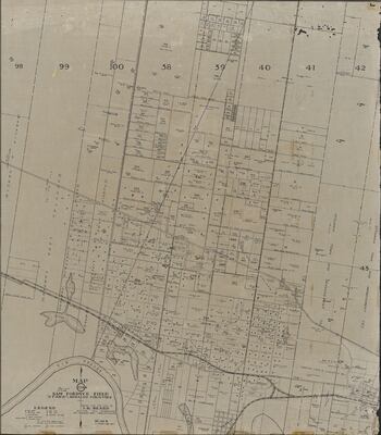
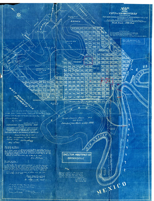
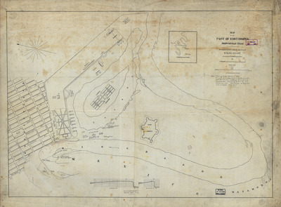
![Map of the City of Brownsville [Texas] by New York & Brownsville Improvement Co., Skelton Abstract Co., George Lyons, and A M. Amthor](https://scholarworks.utrgv.edu/maps/1083/thumbnail.jpg "Map of the City of Brownsville [Texas] by New York & Brownsville Improvement Co., Skelton Abstract Co., George Lyons, and A M. Amthor")


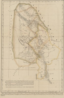
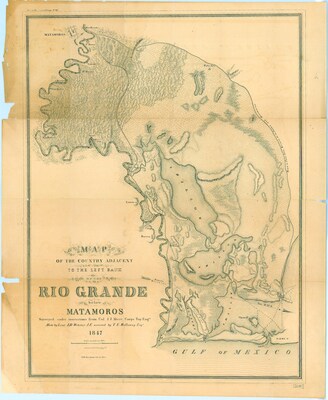
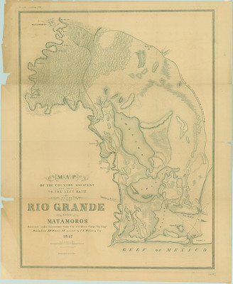
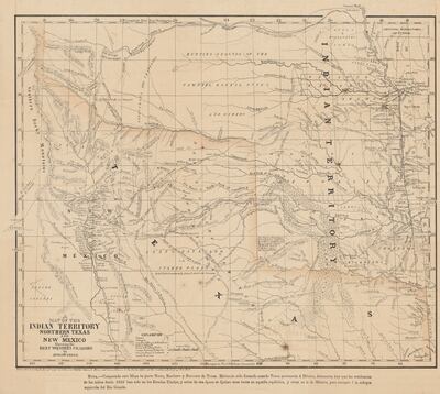
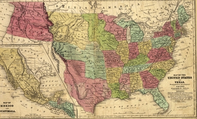
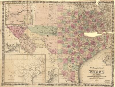
![Map of the United States and Texas [and] Map of Mexico and Guatimala by Samuel Stiles; George Edwin Sherman; John Calvin Smith; and Stiles, Sherman, & Smith](https://scholarworks.utrgv.edu/maps/1100/thumbnail.jpg "Map of the United States and Texas [and] Map of Mexico and Guatimala by Samuel Stiles; George Edwin Sherman; John Calvin Smith; and Stiles, Sherman, & Smith")

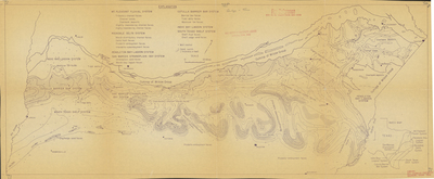
![[Map] South Texas Geological Society, Guadalupe River Cross Section by South Texas Geological Society, John C. Bianchi, Robert E. Willis, Charles J. Worrel, and J B. Souther](https://scholarworks.utrgv.edu/maps/1088/thumbnail.jpg "[Map] South Texas Geological Society, Guadalupe River Cross Section by South Texas Geological Society, John C. Bianchi, Robert E. Willis, Charles J. Worrel, and J B. Souther")
![[Map] South Texas Geological Society, Mesozoic Cross Section, 1946-1949 by South Texas Geological Society, Sunray Oil Corporation, Philip S. Morey, Edwin L. Porch, and John R. Sandidge](https://scholarworks.utrgv.edu/maps/1089/thumbnail.jpg "[Map] South Texas Geological Society, Mesozoic Cross Section, 1946-1949 by South Texas Geological Society, Sunray Oil Corporation, Philip S. Morey, Edwin L. Porch, and John R. Sandidge")
![[Map] South Texas Geological Society, Nueces River Cross Section by South Texas Geological Society](https://scholarworks.utrgv.edu/maps/1090/thumbnail.jpg "[Map] South Texas Geological Society, Nueces River Cross Section by South Texas Geological Society")
